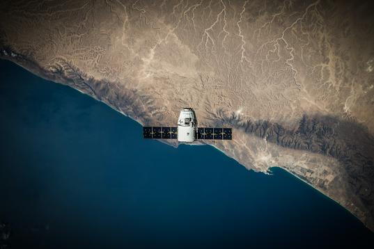
We’ve partnered with Climate TRACE to launch the “States and Regions Remote Sensing” (STARRS) project.
This 12-month pilot initiative will use satellite data to provide six Under2 Coalition members with more up-to-date greenhouse gas (GHG) emissions data. This data in turn will help governments to understand where their emissions are coming from and take action to reduce them.
ClimateWorks Foundation and Google.org are funding the project, which officially launched in February. It will run until early 2023, when initial findings will be released.
The state and regional governments taking part are:
- Abruzzo, Italy
- Basque Country, Spain
- Jalisco, Mexico
- Pernambuco, Brazil
- Querétaro, Mexico
- Western Cape, South Africa
It’s urgent
The latest IPCC Climate Report found that up to 3.6 billion people live in areas highly vulnerable to climate change (IPCC, 2022). We must take urgent action to keep warming to 1.5oC, or many of the effects will become irreversible. To do this, policymakers need data. Without it they can’t plan, deliver and track targeted mitigation action.
We need data
Many states and regions, particularly those in the Global South, lack access to comprehensive, high-quality, and up-to-date GHG emissions data. Even for those with the resources and capacity to regularly update their GHG emissions inventories, data is often at least one year old and so quickly becomes outdated.
Data can drive action
All participating governments have different starting points when it comes to their inventories. Using Climate TRACE data, we will work with governments to improve their understanding of their current and historical GHG emissions. Climate TRACE will provide sector-level emissions estimates for all six participating subnational regions for the past five years, which is gathered using satellite data and AI technology. The data will give each region a better opportunity to deliver effective, and tailored mitigation action.
"Using satellite data to estimate GHG emissions is an exciting new technological development - this project aims to provide states and regions with more up-to-date and accurate data, which they need to take ambitious climate action"
"Using satellite data to estimate GHG emissions is an exciting new technological development - this project aims to provide states and regions with more up-to-date and accurate data, which they need to take ambitious climate action"
Learn more about Climate TRACE:
Climate TRACE is a global coalition that harnesses AI, satellite imagery, and other remote sensing technologies to track human-caused GHG emissions with unprecedented detail and speed. In 2021 the coalition released the world's first comprehensive accounting of GHG emissions based primarily on direct, independent observation. Made up of non-profits, tech companies, and universities from around the globe, Climate TRACE aims to make meaningful climate action easier and faster.
For more information, please contact [email protected].
