About the project
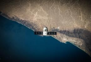
Climate Group has partnered with Climate TRACE to provide states and regions with up-to-date emissions data using AI and data from a wide array of remote sensing technologies, including satellites.
Launched in March 2022, the States and Regions Remote Sensing (STARRS) project is a 12-month pilot initiative that is working with six Under2 Coalition members:
- Abruzzo, Italy
- Basque Country, Spain
- Jalisco, Mexico
- Pernambuco, Brazil
- Querétaro, Mexico
- Western Cape, South Africa

The need for data
It’s incredibly difficult to reduce emissions without a clear picture of where they come from. Without accurate data, states and regions can't plan, deliver and track targeted mitigation action.
Climate TRACE is providing up-to-date emissions estimates for six participating subnational regions for the past five years.
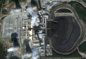
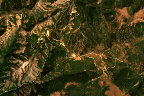
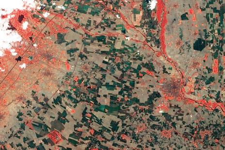
This will be gathered using a wide range of satellite and remote sensing data, that is assembled and analysed using AI and machine learning technology.
Opportunities to speed climate action
This pilot project aims to enhance the accessibility of GHG emissions data for state and regional governments. The data provided through this project will empower each region to take focused and impactful action on emissions mitigation.
The STARRS project is also exploring the potential and wider applications of satellite derived GHG emissions data in climate action planning, implementation and tracking at the subnational level.

Which emissions are we estimating and where from?
It can be vague to talk about "providing emissions estimates" - what does this mean in practice? Which emissions are we talking about? And where are they coming from?
We've answered all these questions here.

How satellites and AI can help keep 1.5 alive
STARRS featured on TEDxLondon's Climate Curious podcast. Ben Hurst And Maryam Pasha sat down with Lekha Sridhar, live at Climate Week NYC, to talk about how Climate TRACE is using satellites to help to identify observable signals of once invisible emissions. And why this isn't just about identifying the 'bad guys' - it's about using transparency and accountability to help us all create a better future.
A view from space: tracking global emissions state by state
We connected our project participants at a virtual event to celebrate the project's achievements.
They told us what they've gained from STARRS, as well as the impact, scalability and sustainability of this work. We also spoke about our ambition to expand this project to more states and regions in the coming years.
The event featured a video message from Al Gore - former US Vice President and founding member of our partner, Climate TRACE.

Climate TRACE
Climate TRACE (Tracking Real-time Atmospheric Carbon Emissions) is a global non-profit coalition created to make meaningful climate action faster and easier by independently tracking greenhouse gas (GHG) emissions with unprecedented detail and speed.
The coalition is made up of non-profits, tech companies, universities, and former U.S. Vice President and climate leader Al Gore.
Together, Climate TRACE harnesses satellite imagery and other forms of remote sensing, artificial intelligence, and data science expertise to identify human-caused GHG emissions when and where they happen.
Related news
Querétaro joins Google.org's GHG satellite tracking pilot program
Basque Country selected by Climate Group for an international project to measure emissions via satellite
With the decarbonization plan it is possible for Pernambuco to have a 6% higher GDP in 2050
The Climate Group chooses Euskadi to carry out an international project
The Basque Country, selected for an international project to measure greenhouse gas emissions by satellite
State invests in emissions monitoring project
