
New research, published today by Climate Group and Climate TRACE, has highlighted the benefits of, and urgent need for, accurate and timely greenhouse gas emissions tracking to help state and regional governments reach net zero by 2050.
Historically, emissions data at the state and regional level have been roughly estimated from national figures rather than measured via timely, location-specific information. According to research by Climate Group, this causes inaccuracies and makes it more difficult to take effective, targeted action to cut emissions.
A pilot project with six members of the Under2 Coalition has sought to change this. It paired these states and regions with independent data generated by Climate TRACE using publicly and commercially available satellite data and artificial intelligence to draw a clearer, more up-to-date picture of how and where greenhouse gases are emitted.
Satellite view of the Mergui Archipelago showing Auckland and Whale Bays. Source: Getty Images
There’s no shortage of subnational government ambition to tackle emissions. But to be able to do that it’s vital that they have the tools, resources and knowledge needed to deliver action where it matters. Otherwise, states and regions have to rely on guesswork. The STARRS project has addressed this head on and proven that when governments can measure their emissions, they can manage them.
Dr. Champa Patel, Executive Director of Governments and Policy of Climate Group ,Climate Group, together with Climate TRACE, launched the States and Regions Remote Sensing (STARRS) project in 2022.
Through the collaboration, detailed and timely emissions information has been provided to an initial group of states and regions in Africa, Europe and South America. These are:
- Abruzzo (Italy)
- Basque Country (Spain)
- Jalisco (Mexico)
- Querétaro (Mexico)
- Pernambuco (Brazil)
- Western Cape (South Africa)
Before joining the project, four of these governments had no official inventory of their greenhouse gas emissions more recent than 2017. That meant they had no tangible record of their climate impact over the last six years and had to base their plans to reduce that impact on out-of-date data.
With the collaboration facilitated by the STARRS project, these six states and regions can fill gaps in their data and update their climate plans. This can lead to more effective climate action – focused on high-priority sectors that are most damaging to the environment in each region.
Satellite image of Boston, Massachusetts, United States. Source: Getty Images
Until very recently, states and local governments have almost always had to rely on outdated and incomplete emissions inventories, often generalised or inaccurately downscaled from national estimates. Climate TRACE has changed that reality, and we are proud to partner on the STARRS project to ensure these climate action leaders have the critical information they need.
Lekha Sridhar, senior policy analyst at WattTime and partnerships manager at Climate TRACE ,States and regions are among the most powerful advocates and actors on climate action, with the Under2 Coalition being named as one of the international partnerships with the highest potential for reducing emissions (Global Climate Action from Cities, Regions and Businesses Report, 2021). Action at this level can therefore play a major role in the need to keep global temperature rise to 1.5 degrees.
Supportive quotes from pilot states and regions:
This project has helped us to enrich our database, so we can move forward. Satellite data offer a higher quality of information that we wouldn’t have previously had access to.
Arturo Palero, Director of Transversal Management in the Face of Climate Change of the Government of Jalisco ,An improved methodology to collect useful information on emissions is what we need. This will help us to deliver clear and effective medium- and long-term programming at the local and regional levels.
Chiara Barchiesi of the Office of EU Direct Management Programmes and Cooperation, Directorate General, Regione Abruzzo ,
New York City satellite view. Source: Getty Images
Contact
For any media enquiries, including interview requests, please contact: Hannah Davies, Communications Officer at Climate Group: HDavies@climategroup.org
Notes to Editors
- Climate TRACE calculated emissions from individual sources by harnessing publicly and commercially available satellite data and other data from other sources to train artificial intelligence algorithms. In doing so, the project was able to capture information that the human eye or traditional monitoring methods may miss.
About Climate Group
Climate Group drives climate action. Fast. Our goal is a world of net zero carbon emissions by 2050, with greater prosperity for all. We focus on systems with the highest emissions and where our networks have the greatest opportunity to drive change. We do this by building large and influential networks and holding organisations accountable, turning their commitments into action. We share what we achieve together to show more organisations what they could do. We are an international non-profit organisation, founded in 2004, with offices in London, New Delhi and New York. We are proud to be part of the We Mean Business coalition. Follow us on Twitter @ClimateGroup.
About the Under2 Coalition
Climate Group is the Secretariat to the Under2 Coalition, which is the largest global network of states, regions, provinces and other subnational governments committed to achieving net zero emissions by 2050 at the latest.
About Climate TRACE
Climate TRACE (Tracking Real-time Atmospheric Carbon Emissions) is a global coalition of nonprofits, tech companies, and universities created to make meaningful climate action faster and easier by independently tracking greenhouse gas (GHG) emissions with unprecedented detail and speed. Climate TRACE harnesses satellite imagery and other forms of remote sensing, artificial intelligence, and data science expertise to identify human-caused GHG emissions when and where they happen.
Coalition members include Blue Sky Analytics, Carbon Yield, Earthrise Alliance, Hypervine, Johns Hopkins University Applied Physics Laboratory, OceanMind, RMI, TransitionZero, WattTime, and climate leader and former U.S. Vice President Al Gore. In addition, more than 90 other organizations and researchers have contributed to the work including: CTREES, Global Energy Monitor, Michigan State University, Minderoo Foundation/Global Plastic Watch, Planet Labs PBC, Synthetaic, GHGSat, Universiti Malaysia Terengganu, and others.
For more information, please visit: https://climatetrace.org/
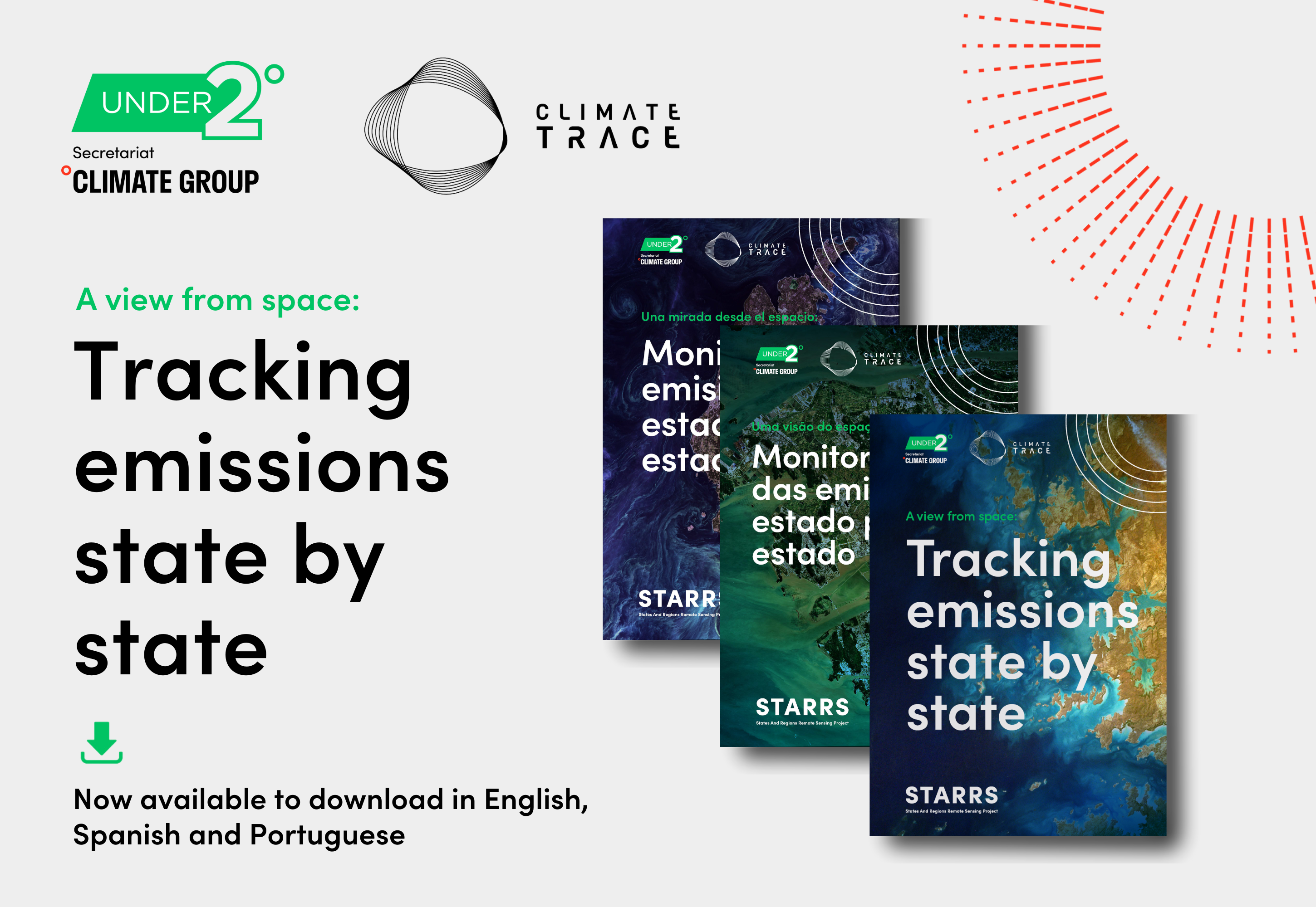
A view from space: tracking emissions state by state
Size: 70.67 MB
Date added: 29/03/23
English ,
Una mirada desde el espacio: monitoreando emisiones estado por estado
Size: 71.53 MB
Date added: 29/03/23
Español ,
Uma visão do espaço: monitoramento das emissões estado por estado
Size: 73.23 MB
Date added: 29/03/23
Português